GEOTECHNICAL ENGINEERING
NEWARK
HomeSeismicSoil liquefaction analysis

Soil Liquefaction Analysis in Newark NJ — Lab Testing & Field Evaluation

Evidence-based design. Reliable delivery.

LEARN MORE

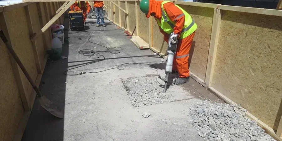
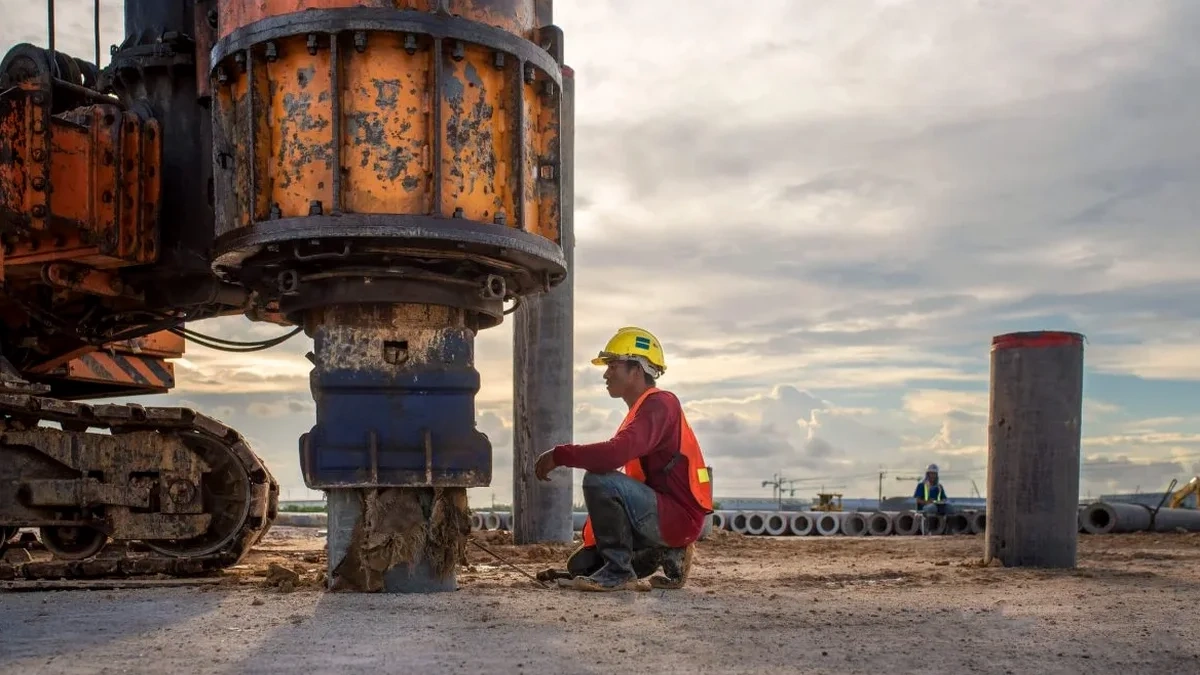
The SPT hammer drops 30 inches onto the anvil, driving the split-spoon sampler 18 inches into the subsurface. That blow count — recorded every six inches — is the first data point we need for liquefaction analysis in Newark. The city sits on unconsolidated Quaternary sediments, with a shallow water table barely 5 to 8 feet below grade in much of the Ironbound and along the Passaic River. We process those field numbers through cyclic stress ratio calculations back at our AASHTO-accredited lab, correlating corrected N-values with fines content from wash sieving. A single boring can reveal whether saturated loose sands will fluidize during a design-level earthquake. For deeper profiling where SPT refusal occurs, we often pair the fieldwork with a CPT test to capture continuous tip resistance and pore pressure data through interbedded silts and clays.

In Newark, liquefaction isn't theoretical — it's a shallow-hazard problem where the water table meets loose hydraulic fill within the first 15 feet.

Our service areas

How we work

A warehouse retrofit on Doremus Avenue illustrated the problem clearly. The geotechnical report showed 14 feet of hydraulic fill — loose sand with silt seams — overlying varved clays from glacial Lake Passaic. The water table sat at elevation 4.2 feet NGVD, and the site was within 2,000 feet of Newark Bay. Our team ran a full liquefaction triggering analysis using the simplified procedure from Seed & Idriss, with site-specific peak ground acceleration from the USGS hazard maps. The corrected SPT blow counts ranged from 4 to 8 in the critical layer, and the factor of safety against liquefaction dropped to 0.6 at 12 feet depth. That triggered a redesign: the owner switched from shallow footings to driven piles socketed into the competent stratum below 45 feet. The lab supported the analysis with grain-size curves per ASTM D2487 and Atterberg limits on the fines fraction — because a soil with 15% plastic fines behaves very differently than clean sand under cyclic loading.
Soil Liquefaction Analysis in Newark NJ — Lab Testing & Field Evaluation
Technical reference — Newark

Local geotechnical context

The Ironbound district and the North Ward tell two different stories. In the Ironbound — built on filled marshland between the Passaic River and Newark Bay — the soil column is dominated by loose granular fill, organic silts, and a groundwater table that barely drops below the basement slab. Liquefaction risk runs high, with LPI values frequently exceeding 15 in the upper 20 feet. Move west into the North Ward or Forest Hill, and the geology shifts: glacial till and weathered Brunswick shale cap the bedrock at shallower depth, and the water table is often deeper. Liquefaction susceptibility drops sharply. A developer who assumes uniform conditions across the city will underspend on ground improvement in one zone and overspend in another. Site-specific analysis — with at least two borings and lab classification of fines — is the only defensible approach under IBC 2021 Section 1803 and ASCE 7-22 Chapter 20.

Need a geotechnical assessment?

Reply within 24h.

Email: contact@geotechnical-engineering.vip

Relevant standards

ASCE 7-22 Chapter 20 — Seismic Ground Motion and Site-Specific Procedures, IBC 2021 Section 1803 — Geotechnical Investigations, ASTM D1586 — Standard Test Method for SPT and Split-Barrel Sampling, ASTM D2487 — Classification of Soils for Engineering Purposes, Seed & Idriss (1971) — Simplified Procedure for Evaluating Soil Liquefaction Potential

Technical data

ParameterTypical value
SPT N-value (uncorrected)4–15 blows/foot in loose fill
Corrected (N1)60csReported with fines content correction
Peak ground acceleration (PGA)0.15–0.20g per USGS 2475-year return
Factor of safety (FSL)Calculated per Seed & Idriss (1971)
Fines content (FC)5–35% by weight, ASTM D1140 wash
Liquefaction Potential Index (LPI)0–45, reported per boring
Depth to groundwater4–10 feet bgs, seasonal variation

Common questions

What does a liquefaction analysis cost for a Newark building lot?

For a standard commercial lot in Newark, a liquefaction screening with two SPT borings to 50 feet, lab testing of fines content and Atterberg limits, and the full Seed-Idriss analysis report typically ranges from US$2,530 to US$4,680. The final number depends on access constraints, number of borings, and whether CPT soundings are added to refine the profile.

Do I really need a liquefaction study if my site is in the North Ward?

The North Ward has more favorable geology — glacial till over shale — but the IBC still requires a site-specific evaluation if your structure is in Seismic Design Category C or higher, which covers most of Essex County. A single boring with SPT data and lab classification can often demonstrate that the factor of safety exceeds 1.3, saving you the cost of unnecessary ground improvement.

How do you handle the high water table near the Passaic River?

We measure groundwater during drilling and again 24 hours later for a stabilized reading. For liquefaction analysis, we use the highest seasonal level — typically spring — because a saturated soil column from 4 feet bgs downward maximizes the zone where pore pressure can build. The lab also runs moisture content on sealed samples to confirm saturation in the critical layers.

What happens if my site fails the liquefaction screening?

A factor of safety below 1.0 doesn't kill the project — it triggers a mitigation design. Common solutions in Newark include stone columns to densify the loose sand, deep foundations bearing on the competent stratum below 45 feet, or ground improvement with vibrocompaction where access allows. Our report provides the post-improvement N-values needed to recalculate the factor of safety and close out the building department requirement.

Location and service area

We serve projects in Newark and surrounding areas.

View larger map