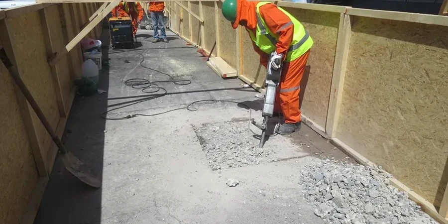
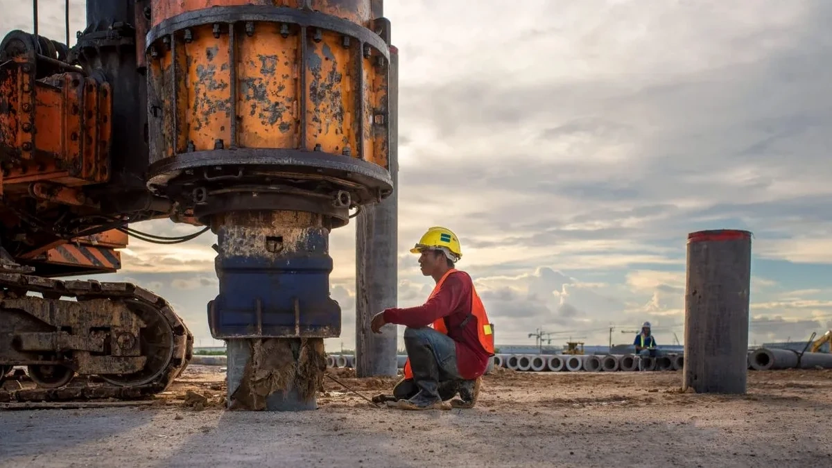
A lot of sites in Newark sit on the glacially deposited clays and silts of the Passaic Formation, or on historic fill near the Passaic River and Newark Bay. These conditions make guessing the seismic site class a bad bet. We run the Multichannel Analysis of Surface Waves (MASW) survey to directly measure the average shear wave velocity in the top 30 meters, your VS30. It is a non-invasive test: we lay out a line of geophones on the ground, record surface wave propagation with a seismograph, and invert the dispersion curve to get a 1D shear wave velocity profile. The result is a defensible Site Class A through F under ASCE 7-22 and Chapter 16 of the IBC. For sites with questionable fill, where a standard SPT drilling log alone might not resolve deep velocity contrasts, the MASW method gives us a continuous stiffness profile without the spatial gaps of borehole data.
A direct VS30 measurement removes the default site class assumption and often lowers the design spectral acceleration, cutting foundation costs.