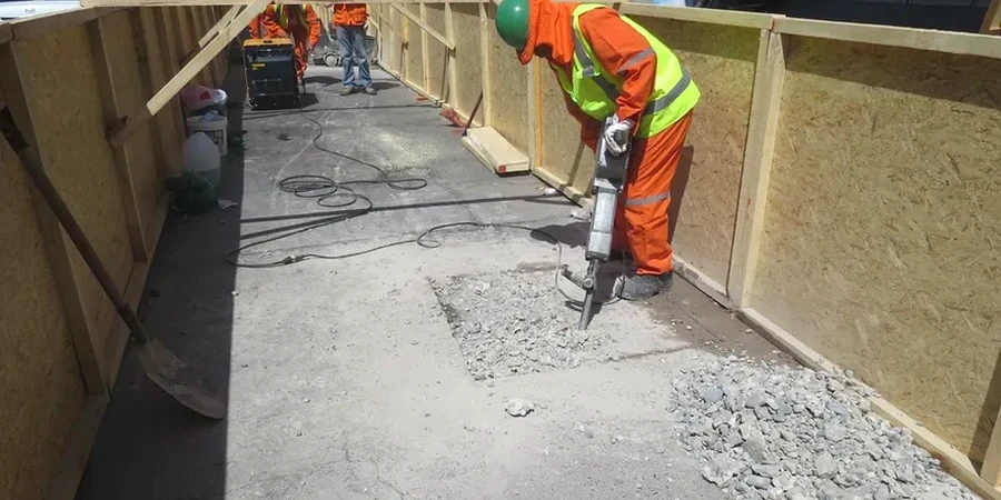
A five-story mixed-use project on Ferry Street hit refusal at 12 feet. The contractor had no idea there was a buried foundation from the 1920s under the lot. We see this pattern across Newark — the subsurface is rarely what the surface suggests. The city sits on glacial sediment and historic fill, with depth-to-rock varying wildly between the Ironbound and the North Ward. In our experience, SPT data is the only reliable way to map these transitions before the excavator bucket finds them first. We run the Standard Penetration Test to ASTM D1586, correlating blow counts with soil behavior so the structural engineer isn't guessing. When the bore log shows N-values dropping below 4 in the Meadowlands area, we flag it immediately. That's the difference between a foundation that holds and one that settles unevenly within the first two years.
N-values below 4 in the Meadowlands formation demand immediate foundation redesign — we flag it the same day the bore log is completed.