GEOTECHNICAL ENGINEERING
NEWARK
HomeGeophysicsSeismic tomography (refraction/reflection)

Seismic Tomography (Refraction & Reflection) in Newark NJ

Evidence-based design. Reliable delivery.

LEARN MORE

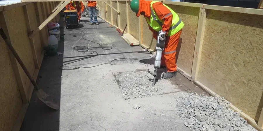
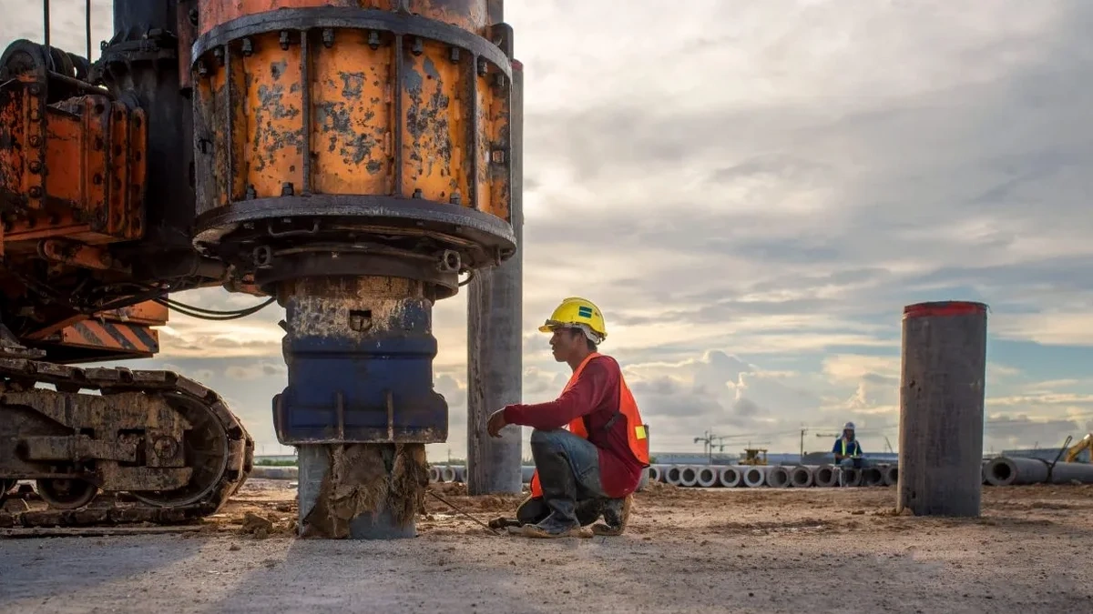
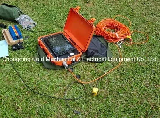
Newark’s industrial expansion through the 19th and early 20th centuries left a legacy of manufactured fill, buried foundations, and variable overburden that complicates subsurface characterization today. At the corner of Broad and Market, you are standing on a mix of glacial till and Triassic shale, but two blocks east the profile changes completely. Our team has worked across the Ironbound and downtown districts, and we see this unpredictability in every project. Seismic tomography, combining both refraction and reflection acquisition, cuts through the ambiguity. It maps the transition from loose fill to competent bedrock without the blind spots that boreholes alone create. For sites near the Passaic River or along McCarter Highway, we often integrate the velocity model with an MASW survey to satisfy IBC Chapter 16 shear-wave velocity requirements in a single mobilization.

A refraction survey in the Ironbound revealed a buried bulkhead 18 feet below grade that no one remembered—seismic velocity nailed it before the excavator did.

Our service areas

How we work

The coastal plain setting of Newark introduces a sharp contrast between saturated estuarine silts and the underlying Brunswick Formation shale. This velocity contrast is ideal for refraction interpretation, but only if the geophone spread is long enough to catch the bedrock head wave. We routinely deploy 48- and 72-channel arrays with a 10-lb sledgehammer or accelerated weight drop source, depending on required penetration depth. Reflection processing adds value when the bedrock surface is irregular or when we need to identify voids in abandoned sewer lines—a common issue in the old city wards. Before staging a deep excavation near the PATH tunnels, contractors often ask us to combine the tomography results with CPT soundings to calibrate the velocity-to-density relationship against measured tip resistance and sleeve friction.
Seismic Tomography (Refraction & Reflection) in Newark NJ
Technical reference — Newark

Local geotechnical context

Newark sits on the Newark Basin, a Triassic rift valley where diabase sills intrude the shale at unpredictable depths and angles. A refraction line that appears clean on the shot gather can be completely misinterpreted if a high-velocity diabase layer masks a deeper, weathered zone below it. We have pulled cores where the tomogram showed a velocity inversion—softer shale beneath competent sill—that only reflection processing could untangle. The USGS Quaternary fault map shows no active traces within city limits, but the Ramapo Fault system to the northwest generates enough low-frequency energy to warrant site-specific Vs30 measurement under ASCE 7-22 Chapter 21. Skipping velocity verification and relying on default Site Class D can oversize or undersize the seismic base shear, both of which carry cost and safety consequences.

Need a geotechnical assessment?

Reply within 24h.

Email: contact@geotechnical-engineering.vip

Relevant standards

ASTM D5777 Standard Guide for Using the Seismic Refraction Method, ASTM D7400 Standard Test Methods for Downhole Seismic Testing, IBC 2021 Section 1613 Earthquake Loads & Site Class Definitions, ASCE 7-22 Chapter 21 Site-Specific Ground Motion Procedures

Technical data

ParameterTypical value
Source typeSledgehammer, weight drop, or buffalo gun
Geophone array48 or 72 vertical-component, 4.5 Hz
Max investigation depth (refraction)80 to 120 ft typical
P-wave velocity range800 to 16,000 ft/s
S-wave velocity (Vs30)Per IBC 1613.2 site class
Processing softwareSeisImager, Rayfract, or ReflexW

Common questions

How deep can seismic refraction reach in Newark's geology?

Depth depends on the source energy and geophone spread length. With a 240-foot active spread and a weight drop, we typically image to 80-100 feet in the glacial till and Brunswick shale. For deeper targets, we switch to reflection acquisition or combine the survey with a downhole test.

What does a seismic tomography survey cost for a typical commercial lot?

For a standard commercial lot in Newark, a combined refraction and MASW survey ranges from US$2,790 to US$5,980. The final figure depends on line length, number of shots, site access constraints, and whether we need traffic control on active streets.

Will the survey work if the site has asphalt or concrete pavement?

Yes, but it requires good geophone coupling. We drill small indentations through the pavement at each station or use base plates with gypsum paste. The shot point also needs direct soil contact, so we often core a small hole for the source plate.

How do you distinguish between a diabase sill and the true bedrock in the tomogram?

The velocity contrast is the key. Diabase sills in the Newark Basin show P-wave velocities above 15,000 ft/s, while the surrounding shale runs 8,000-12,000 ft/s. When we see a high-velocity layer underlain by lower velocities, we flag a possible inversion and recommend a verification borehole or reflection processing to confirm the true bedrock depth.

Location and service area

We serve projects in Newark and surrounding areas.

View larger map